Stretching 413 kilometers across the Tyrolean Alps, the Adlerweg Austria Hiking Trail ranks among Europe's most ambitious long-distance hiking routes.
This trail system connects 33 stages through Austria's western mountain ranges, offering hikers a continuous path from St. Johann in the east to St. Anton am Arlberg in the west.
The Adlerweg, or Eagle Walk, took shape in the early 2000s when regional tourism boards recognized the potential for a signature long-distance trail.
Rather than building entirely new paths, planners linked existing trails into a coherent route. The name references the Tyrolean coat of arms, which features an eagle, and the trail's shape roughly mirrors the bird's silhouette when viewed on a map.
Route designers faced the challenge of connecting diverse terrain while maintaining consistent difficulty and accommodations.
The final path traverses the Wilder Kaiser range, crosses the Inn valley, continues through the Karwendel mountains, and concludes in the Lechtal Alps. Each section presents distinct geological features and vegetation zones.
Official designation came in 2005, with comprehensive marking and infrastructure improvements following over the next several years.
Trail markers bearing the eagle logo now appear at regular intervals, and detailed stage descriptions help hikers plan logistics. The route has become one of Austria's most recognized hiking brands.
Source: Depositphotos.
Trail Logistics and Infrastructure
The Adlerweg divides into 33 daily stages averaging 12-15 kilometers each. This structure assumes hikers will complete roughly one stage per day, though many combine shorter stages or split longer ones based on fitness and preferences.
Elevation profiles vary significantly—some stages involve 1,500 meters of ascent, while others follow gentler terrain.
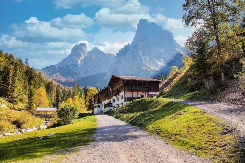
Accommodation spacing determines much of the trail's character. Unlike wilderness routes requiring camping equipment, the Adlerweg passes through valleys and villages with hotels, guesthouses, and mountain huts.
Source: Depositphotos.
This allows hikers to carry lighter packs with just daily necessities. Hiking tours in Austria often follow sections of the Adlerweg, with pre-arranged lodging at each stage endpoint.
Public transportation links to the trail provide flexibility. Several stages start or end near bus stops or train stations, allowing hikers to complete sections over multiple trips rather than committing to the full route.
This accessibility makes the trail popular with Austrian locals doing weekend sections as well as international visitors attempting the complete traverse.
Terrain and Natural Features
Source: Depositphotos.
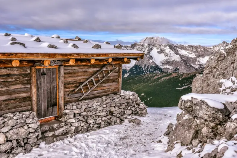
The western section through the Lechtal Alps presents the most challenging terrain.
Narrow ridges, steep ascents, and occasional fixed cable sections require sure footing and comfort with exposure. These stages typically rate as difficult, with some requiring basic mountaineering skills during early season when snow remains.
The central Karwendel section offers different challenges—long valleys and high passes with substantial daily elevation changes.
This limestone range features dramatic rock formations and sparse vegetation at higher elevations. Water sources can be limited on ridge sections, requiring careful planning.
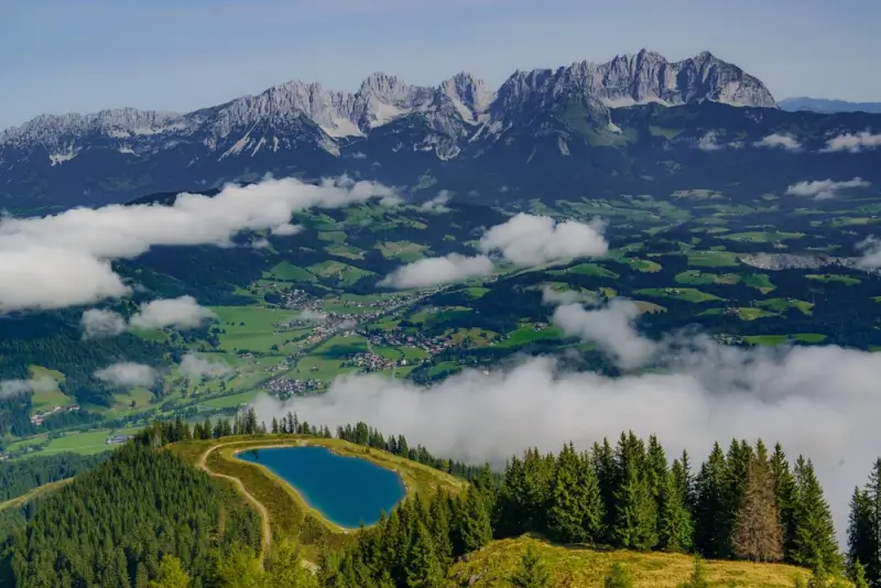
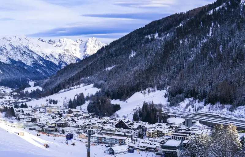
The eastern Wilder Kaiser stages are more accessible to hikers with moderate fitness. The terrain remains mountainous but with better-developed trails and more frequent villages.
Forests dominate lower elevations, transitioning to alpine meadows above treeline. This section sees the heaviest traffic, particularly near popular destinations like the Stripsenjochhaus.
Cultural Landscapes
Source: Depositphotos.
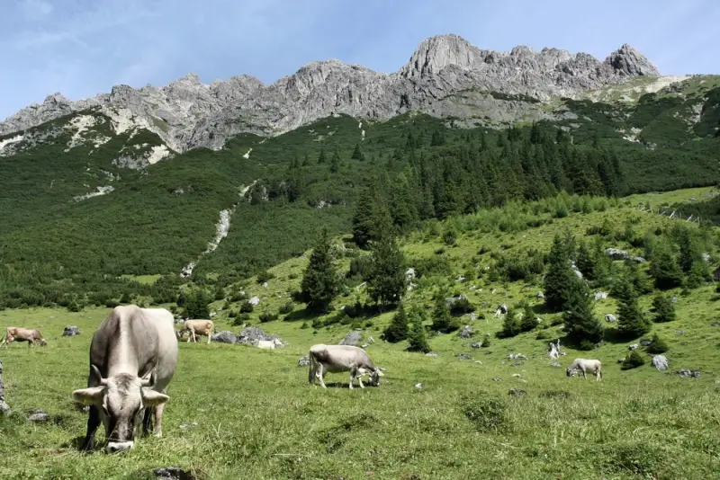
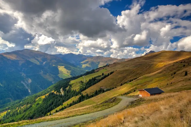
The route passes through traditional Tyrolean farming communities where mountain agriculture continues much as it has for centuries.
Hay barns dot high meadows, and cattle spend summers at alpine pastures. Many farms supplement agricultural income by offering accommodation to hikers, maintaining traditional guest rooms called “Zimmer frei.”
Architectural styles shift subtly along the route. Western sections show more influence from the Vorarlberg region, with broader building styles.
Central areas display classic Tyrolean design—wooden structures with wide overhangs and painted facades. Local building traditions adapted to specific microclimates and available materials. Several stages pass significant historical sites.
World War I fortifications appear in the Karwendel, where the Austro-Hungarian and German forces built defensive positions. Mining heritage surfaces in certain valleys, with abandoned copper and silver operations visible from the trail. Information panels provide context at major sites.
Seasonal Considerations
Source: Depositphotos.
The official season runs from late June through September, though timing varies by section.
Higher western stages may retain snow into July, while eastern portions become accessible by early June. October can offer good conditions but with shorter days and the possibility of early snowfall at elevation.
July and August bring stable weather and full services but also crowds at popular stages and mountain huts.
Advance reservations become necessary, particularly in the Wilder Kaiser region. June and September offer advantages—fewer hikers, lower accommodation costs, and seasonal weather transitions that can produce dramatic skies.
Weather patterns differ across the route's length. Western sections tend to be wetter, receiving precipitation from weather systems moving across Austria. Eastern areas are somewhat drier but experience more frequent afternoon thunderstorms during summer.
The Karwendel can develop localized weather quickly due to its mass and elevation.
Physical Demands and Preparation
Completing the full Adlerweg requires solid cardiovascular fitness and hiking experience.
Daily elevation gains regularly exceed 1,000 meters, with descents placing stress on knees and ankles. Multi-week commitments test both physical endurance and mental persistence.
Technical skills become important in certain sections. Fixed cable passages require comfort with exposure and proper technique for clipping safety equipment.
Route-finding abilities help when weather reduces visibility, though good marking makes serious navigation errors unlikely.
Training should include regular hiking with elevation gain and multiple consecutive days on the trail.
Breaking in boots thoroughly prevents blistering during the actual trek. Building core strength helps with balance on uneven terrain and carrying a multi-day pack, even a relatively light one.
Source: Depositphotos.
Conclusion
Hikers who complete the full route join a small community of Adlerweg through-hikers.
The Tyrolean tourism board maintains a completion registry, and finishers receive a certificate documenting their achievement. Many hikers report that the journey's length creates a meditative quality—daily routines simplify, and attention focuses on immediate surroundings.
The trail's structure, with clear stages and reliable infrastructure, makes long-distance hiking accessible to people who might find wilderness routes intimidating.
This combination of challenge and support has established the Adlerweg as a benchmark route in the European hiking community.
Disclaimer:
This post may contain affiliate links. I receive a small commission at no cost to you when you make a purchase using my link.


")


